Outdoor and nature
Trails and outdoor routes
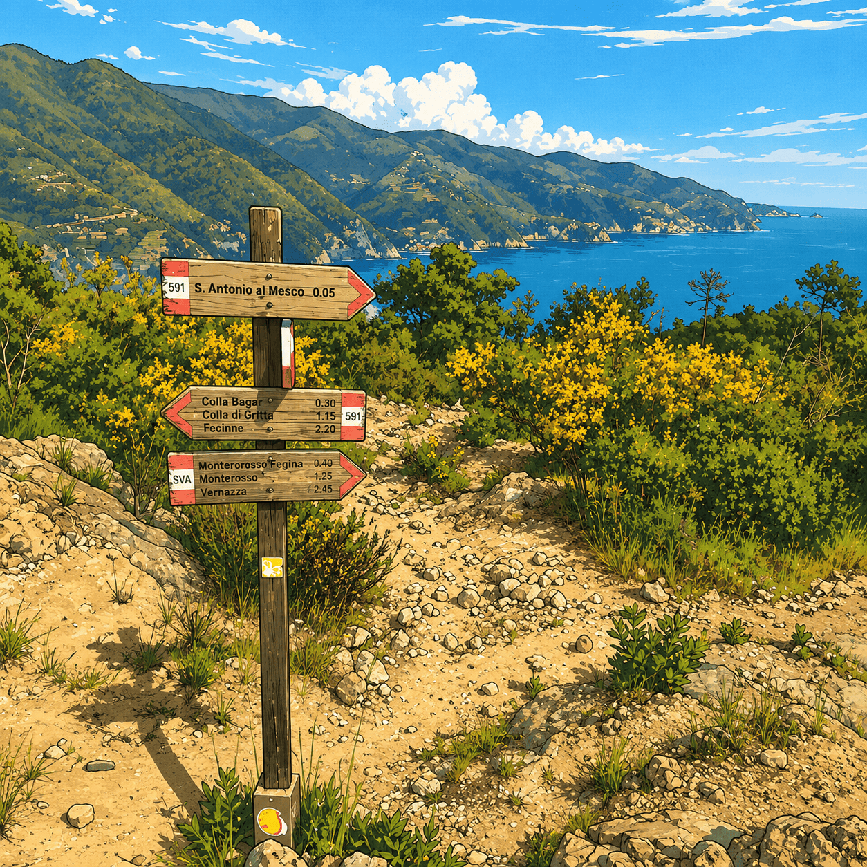
Explore the active routes on the portal with practical information, images and useful details to choose the right itinerary.
We are building an increasingly complete archive of local trails. Contributions from registered users help us improve information, photos, tips and reports.

Tre Fontane - Foce di Vaggi
A short woodland connection in the Framura hinterland between Tre Fontane and Foce di Vaggi, listed in the regional hiking network but to be used only after checking cur…
To be checked 1,1 km To be checked
Montaretto - Trail 663 junction (REL trail marker 664)
A panoramic route along the Bonassola ridge linking the historic village of Montaretto to the main trails towards Framura and Levanto.
E 1,2 km 35m
Salice connection - REL 660 junction
A short and evocative connecting trail descending from the hillside village of Salice to join the major coastal hiking route.
E 1,2 km 25m
Bivio Baccadore - Sella Cravadora
Breve tracciato escursionistico di collegamento nell'entroterra spezzino che unisce la località di Bivio Baccadore alla Sella Cravadora
E 1,4 km 35m
La Villa - Rio di Casale Connection (REL trail marker)
A short and cool connecting trail descending through coppice woodland to the banks of the evocative Rio di Casale.
E 1,4 km 30m
Case Ghiara - Caraschi - Piazza
Una piacevole e storica passeggiata collinare nell'entroterra rurale di Deiva Marina, che risale l'antica mulatiera lastricata tra boschi e frazioni montane affacciate s…
T / E 1,6 km 45m
Costa - Acquafredda - Cava Serin - Castagnola Stream (REL trail 653)
Un itinerario escursionistico secondario e selvaggio nel territorio collinare di Framura, che scende lungo i versanti boschivi superando vecchie aree estrattive fino a r…
E 1,6 km 45m
Laghello - Arcapassana - Tana del Lupo (REL trail 655V)
A woodland walk in the Framura hinterland, among old farm tracks and the evocative Tana del Lupo area.
E 1,8 km 45m
Pian Pontasco - Monte Grumo (REL trail marker / Alta Via dei Monti Liguri connection)
A wild ridge itinerary linking the grassy plateau of Pian Pontasco to the evocative rocky formations and panoramic summit of Monte Grumo.
E 1,9 km 45m
Tuvo – Casa Massola – Monte Focone - junction with trail 591
A panoramic hike through olive groves and along the Gulf of Paradise ridge, from Tuvo to the junction with trail 591.
E 2,2 km 1h 15m
San Giorgio - Montaretto (REL trail marker 663 / former no. 3)
A fascinating mid-slope walk suspended between sea and sky, linking the historic village of San Giorgio with the rural traditions of Montaretto.
E 2,3 km 50m
Sanctuary of Our Lady of Reggio - Il Termine (REL trail marker 582 / former 8B)
A scenic walk along the Cinque Terre Sanctuary Route, connecting the centuries-old square of Reggio with the panoramic Il Termine pass.
E 2,3 km 1h 15m